
LiDar and Its Applications Part 12 – Glacier Volume Changes

The polar bears are in danger. This has been a narrative for quite some time. Their homes are diminishing daily. How and why is this happening? What evidence is there to show said degradation? How can we reverse these trends? What is the point of even analyzing the glaciers? These are all questions I hope to provide answers to throughout this article. In this article, I will touch on this topic as well as LiDar and how it is utilized within our understanding and analysis of glaciers.
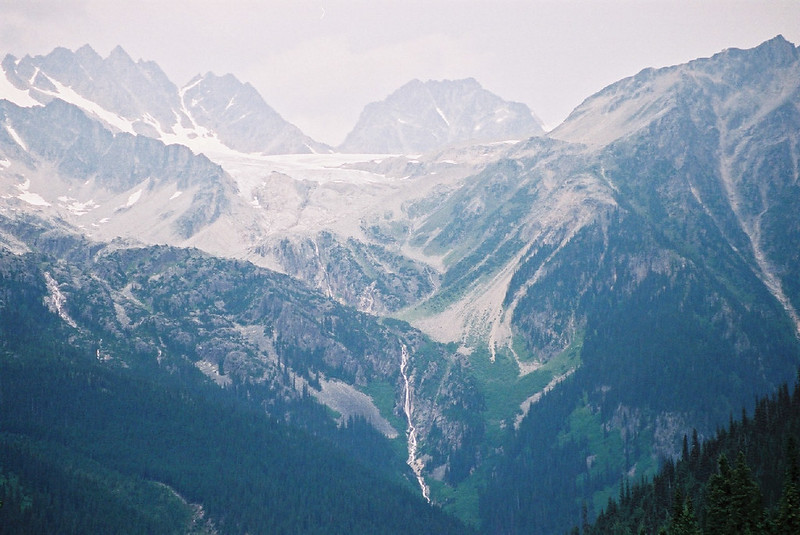
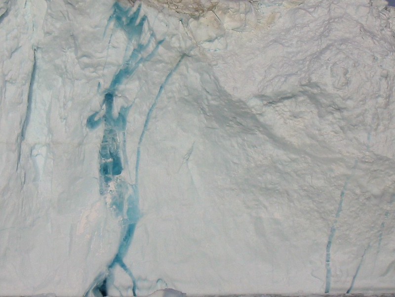
We must first understand the meaning of the cryosphere before we continue. The cryosphere refers to the frozen water part of the Earth system. Some of this consists of ice found in water. This also includes frozen parts of the ocean such as water surrounding Antarctica and the Arctic. There are various places on earth that are so cold that water is frozen solid. There are various glaciers within the cryosphere that have different physical forms. A cirque glacier is formed in a bowl-shaped depression on the side of or near mountains. Snow and ice accumulation in corries often occurs as the result of avalanches from higher surrounding slopes. An arête refers to a sharp, narrow ridge formed as a result of glacial erosion from both sides. Horns refer to peaks or pinnacles thinned and eroded by three or more glacial cirques. Glaciers are typically moving. They tend to leave behind anything they pick up along the way, and sometimes this includes huge rocks. Glacial erratics are rocks that have been moved far away from their source before melting out from underneath a glacier. Glaciers and their movement are essential to the study of glacial shrinkage.
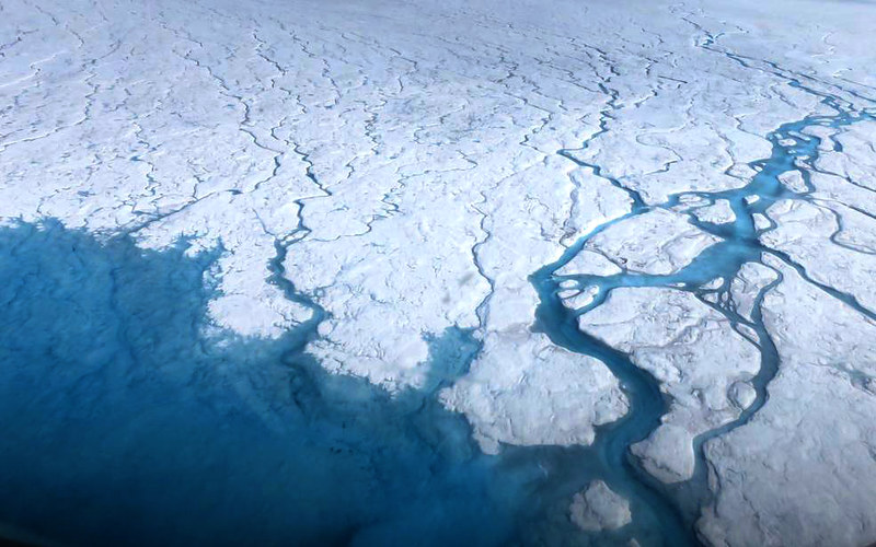
With glacial shrinkage and degradation we must have a background on why glaciers are important to our Earth. If the Greenland glaciers melted in full, it is estimated that sea levels would rise about 6 meters. If the Antarctic glaciers were to melt, sea levels would rise about 60 meters. The glaciers influence weather and climate directly on planet Earth. Large and high-altitude plateaus on ice caps alter storm tracks. They also create downslope winds that are usually close to the ice surface. Within the layers of ice blanketing within our glaciers lies a vast amount of data on Earth’s climate history.
So what does LiDar do for us when we are studying glacial shrinkage? Glacial shrinkage is in direct relation with glacial surface movement. It is important to know and understand shrinkage. Using light detection and LiDar, researchers have the ability to collect surveys over glaciers within different areas and regions. This also is done in combination with particle image velocimetry. Particle Image Velocimetry (PIV) is a non-intrusive laser optical measurement technique for research and diagnostics into flow, turbulence, microfluidics, spray atomization and combustion processes. With 3D data and flow data, we can get a picture of how a glacier will change its size as a function based on time and movement.
There are various publicly available DEMs that are useful for glaciological and geological research. This can be used for studies of ice-volume change, estimation of bias in mass-balance measurements, studies of jökulhlaups and subglacial lakes formed through geothermal land areas, and for mapping of crevasses. Jökulhlaups (an Icelandic word pronounced yo-KOOL-lahp) are glacial outburst floods. They occur when a lake fed by glacial meltwater breaches its dam and drains catastrophically. LiDar mapping includes a 500-1000 m wide ice-free buffer zone around ice margins. This contains various features which are studied thoroughly through DEMs.
Overall there is a lot to learn when it comes to how we can change our planet for the better. LiDar allows the first step of exploration and visualization of the problems were are facing with our glaciers. This allows us to make progress towards fixing the issue, but now what do we do?
Discuss this article and other 3D printing topics at 3DPrintBoard.com.
Subscribe to Our Email Newsletter
Stay up-to-date on all the latest news from the 3D printing industry and receive information and offers from third party vendors.
Print Services
Upload your 3D Models and get them printed quickly and efficiently.


You May Also Like
AI CAD Tools for 3D Printing: An Overview
There is a bevy of AI-to-CAD tools coming out. Some are finding users; some are raising millions in funding. Many new ones are coming out all the time, so we...
ARC & ORNL Form Partnership to Accelerate AI-Enabled Manufacturing for Defense
Last year, Autonomous Resource Corporation (ARC) became the surprising owner of Desktop Metal’s (DM’s) assets following the bankruptcy of the one-time additive manufacturing (AM) unicorn, an acquisition that cost ARC...
RAPID 2026 in Pictures: The Coolest & Craziest Things on the Show Floor
Last week, North America’s premier 3D printing trade show, RAPID+TCT 2026, came to Boston. I spent two days trekking the show floor, trying to see as much as I could,...
Euler Viewer for Metal LPBF 3D Printing Released
Icelandic software startup Euler has released Euler Viewer, a real time build viewer for metal LPBF. The product does not need to be installed, and doesn’t require hardware to be...