![]()
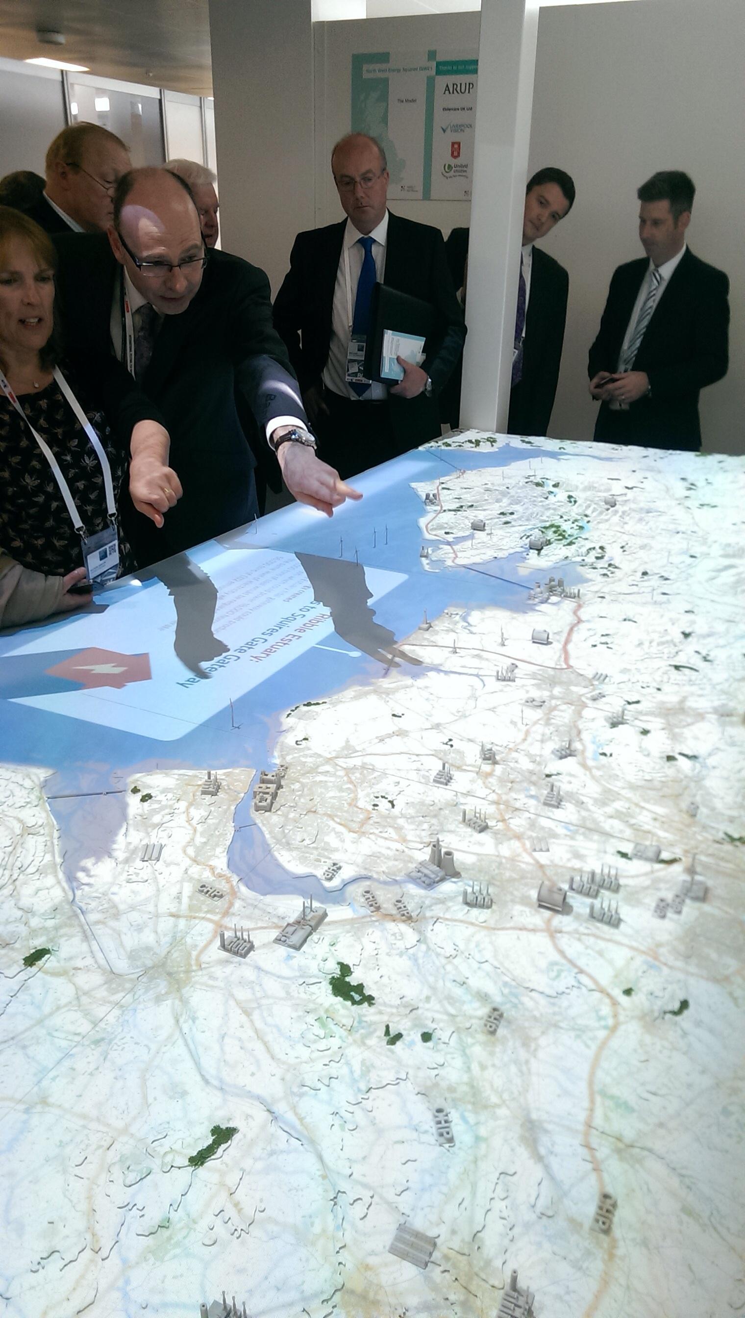
ARUP, one of the world’s largest structural design firms, commissioned the contoured map, which is currently on display at the International Festival of Business in Liverpool, England.
Simon Mabey, Senior Designer of ARUP said they are more than pleased with the way the map turned out.“We are delighted with the finished model and the reaction from our team and visitors has been tremendous. By working with Hobs Studio we’ve created a very special model that’s highly accurate, informative and visually stunning.”
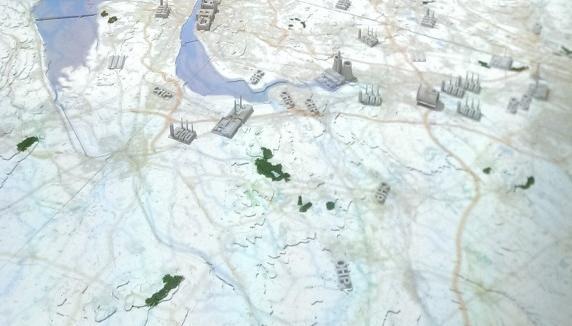
The map’s purpose is to show how renewable energy through tidal gateways can be utilized along England’s Northwest coast. That’s why the map features more than 130 3D-printed models of renewable energy sources in the area, including nuclear power stations, coal power stations, wind farms, biomass processing plants and hydro turbines. In addition to the models of renewable energy sources, the map features 3D-printed models of North West landmarks including the Blackpool Tower, the Beatham Tower in Manchester and the Three Graces buildings in Liverpool.
Projectors situated above the map bring it to life and add a multi-sensory element by beaming video footage of tidal video footage and digital images onto the map to simulate the movement of the tides on the tidal gateways.
Though the map is intricate, it was printed in a record amount of time. “The power of our 3D printing in Manchester, has been teamed with the accuracy of our large digital printers, laser cutting, and traditional model making techniques, said Andrew Conley, 3D Production Manager of Hobs Studio. “This unique combination of services has made it possible to 3D print the landmarks and energy sources, as well as laser cut the map contours themselves, in just two days. In contrast, it would have taken up to two weeks to do the same thing using traditional model making techniques, which has saved both time and money.”
The map will be on display until the end of July when the IFB ends. After the IFB ends, the map will be broken down into eight parts. This will allow sections of the map to be transported and used as necessary. Let us know what you think of this large 3D print in the 3D printed map forum thread on 3DPB.com.