
While 2D maps and 3D digital images have been used for a while to illustrate the potential damage of volcanic eruptions, a 3D printed model enables precision that its predecessors lack. A miniature scale model of a region that includes detailed topography can present a much more concrete idea of, for example, the course that a flow of ash and lava will take, by printing ash and lava in the modeled valleys. Saginor discovered just how accurate his models were when he designed shadows in the terrain, then realized that there was no need; the shadows were already there, naturally created in miniature. A person holding a model of their hometown has a birds-eye view of their surroundings, and can much more clearly see where danger may come from.
“There’s an unmet need in geosciences to use 3D printing,” says Saginor. “Two-dimensional hazard maps can show people where the danger is, but a 3D printed model can show them why.”
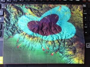
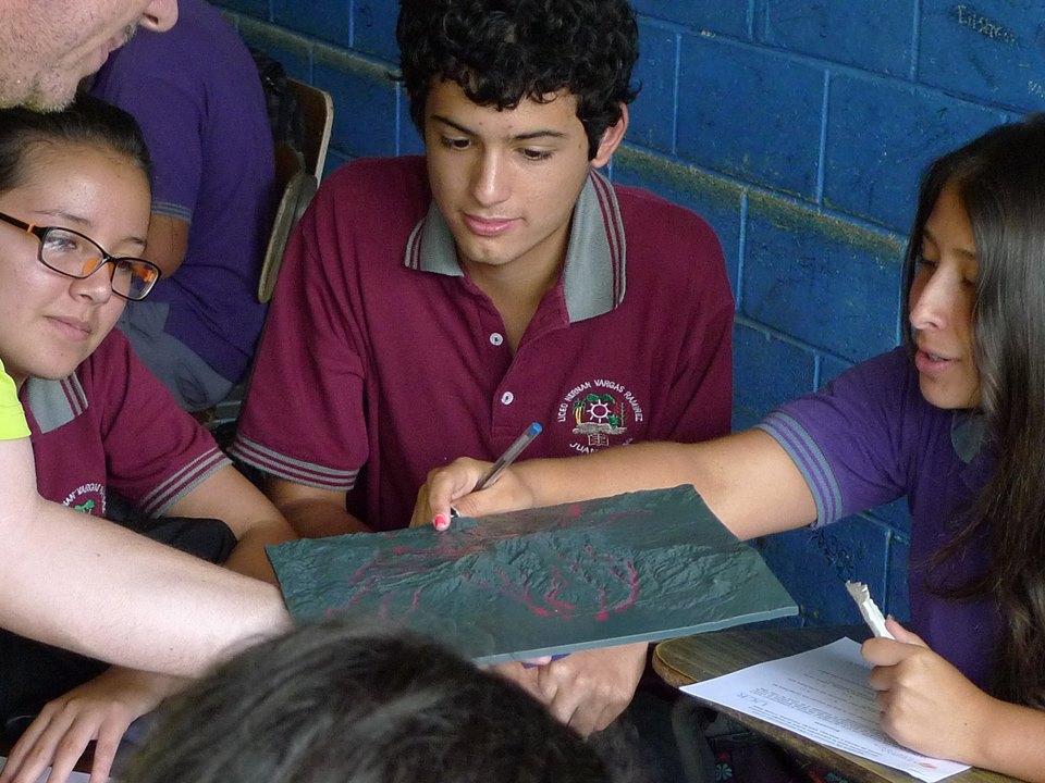
Costa Rican students look at the 3D printed model of Turrialba
The models were printed with the Mcor IRIS, a full high-definition-color, paper-based 3D printer that boasts affordability and eco-friendliness, along with superior photorealism. For Saginor, who hopes to have 100-200 volcano models printed per year, cost-effectiveness is key. He and his colleagues are planning more trips to educate those in volcano risk zones.
“There’s an unmatched value in holding a realistic model in your hands,” Saginor says. “I’ll print as many as I can possibly get in order to effect change.”
If you’d like to help effect change, you can donate to Saginor’s project at his GoFundMe site. Let us know if you’re interested in the 3D Printed Volcano Models forum thread over at 3DPB.com.