3D printing has made navigating a world of vague light forms or, oftentimes, complete darkness more manageable. 3D printed Braille books, some of which include raised imagery as with story and school books, have been created for severely visually-impaired children. 3D printed models that serve as illustrations for books for the blind include portrait busts that stand in for photographic portraits and architectural models. Astronomers in Baltimore, Maryland at the 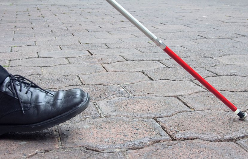
Today, cartographic authorities in Japan announced that they are in the process of developing software with data that users can download from the internet and then, with the use of a 3D printer, produce their own, inexpensive “tactile maps…of different parts of the country.”
Behind the project is the GSI–or, Geospatial Information Authority–of Japan, which is a department of the country’s Ministry of Land, Infrastructure, Transport and Tourism. They have engaged experts from various regions of Japan to develop the software.
Thanks to extensively considered and refined software, a 3D-printed tactile map will differentiate between highways, railway lines, and walkways. According to the press release, the maps will also include “topographical features, such as uneven surfaces and hills,” critical details that will make a tremendous difference for the maps’ visually-impaired users.
While the capacity of such maps to improve the quality of daily life of their users probably goes without saying, creators also anticipate another, invaluable application: Imagine hearing news of an impending natural disaster and proactive evacuations but not being able to navigate your way to safety. “…These maps,” explain GSI, “can be used in courses for the blind focused on earthquake- or tsunami-related evacuations and other emergencies. Notes GSI, “Maps of urban zones will be on a scale of 1:2,500 (1 centimeter equals 25 meters) while those of rural areas will be on a scale of 1:25,000 (1 centimeter equals 250 meters).
In addition to the software, which is not yet available, those who want to create the maps will need a 3D printer. Thanks to their popularity and ready availability in Japan, many users will be able to acquire 3D printers so that they can produce the maps as needed. Each sheet should cost around $1.40 to produce and the printers themselves retail in Japan for about $552 and $664. Let’s hear your thoughts on this amazing use of 3D printing to improve the lives of the visually impaired in Japan. Discuss in the 3D printed map forum thread on 3DPB.com.