

Three-dimensional topographical maps are an especially strong example of how 3D printed objects can help students to better grasp – literally and figuratively – geography. 3D printing has made the creation of topographical maps relatively easy and accessible, and a new startup is raising funds on Kickstarter to bring the technology into hundreds of classrooms around the world. Sightline Maps is a web-based platform that allows users to create and 3D print topographical models of any location on the planet in just a few clicks.
Sightline was created by Navy veterans Jason Ray and Ben Judge as a military tool, but the project took on a new life after they gave the software to a few schools to test out.
“This Kickstarter will help us build a community that is using the Sightline platform every day for school projects, lessons, and all sorts of other activities. That is the really exciting thing about this Kickstarter: it’s not simply marketing a product, but building a community,” Ben Judge, who serves as Sightline’s CEO, told 3DPrint.com.
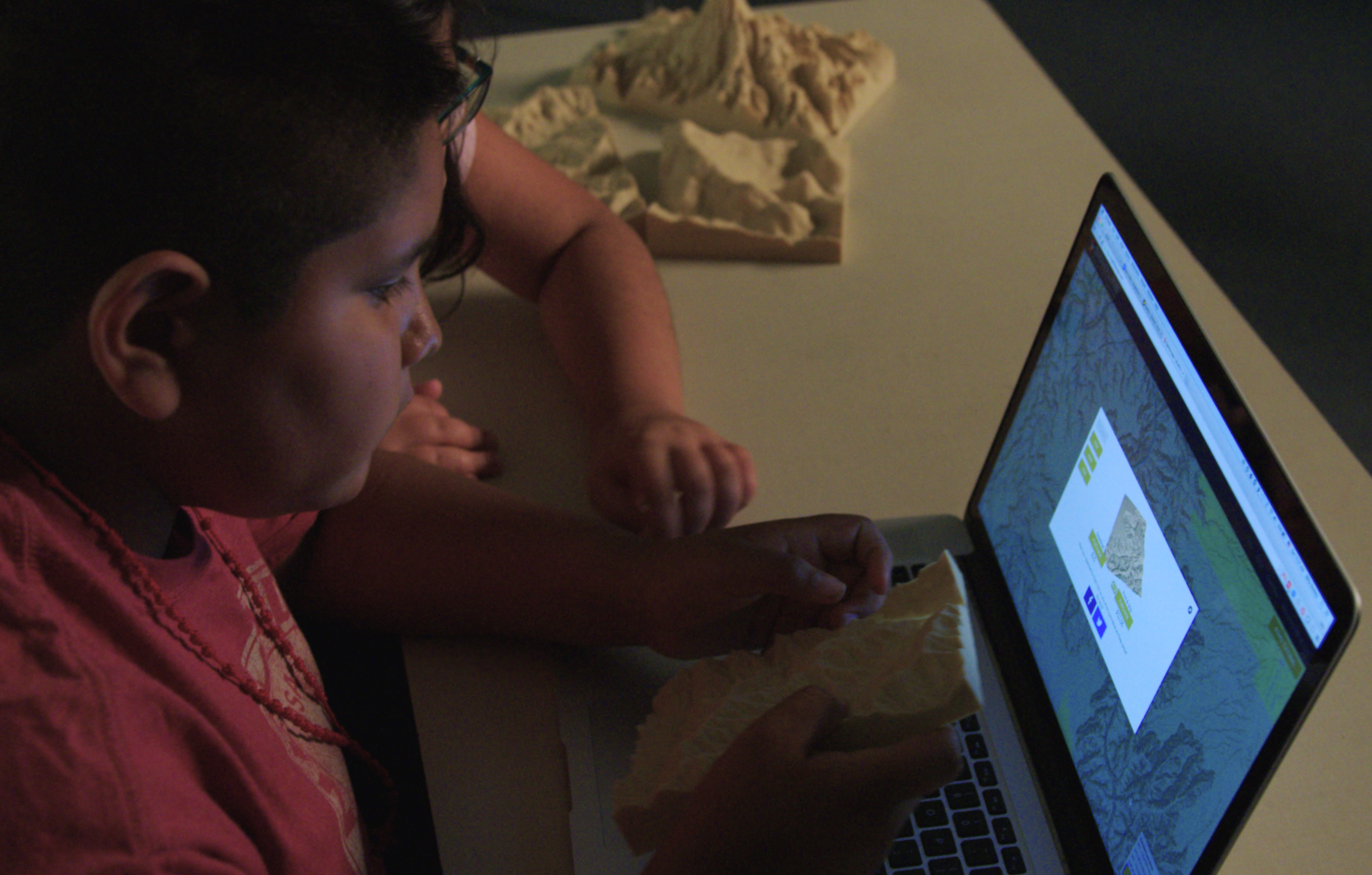
Students and teachers loved it, as you can see from this feedback from Woodin Elementary in Washington:

“We initially created this software to improve the military’s mission planning capabilities, but quickly realized we could have an awesome impact in the classroom when we saw children work with our maps,” said Ray. “This Kickstarter campaign to raise $40,000 will help us bring Sightline Maps to classrooms around the world while updating the platform to include full color satellite imagery.”
“After giving the Sightline to several schools, we realized they all had great ideas for features that would make the tool better, all of which would cost money to implement,” said Judge. “Selling to individual school districts is challenging and time consuming, especially for a startup. We believe this Kickstarter campaign is the ideal way to get our product into students’ and teachers’ hands now while we continue to upgrade our platform.”
For every $100 the Kickstarter campaign raises, Sightline Maps will provide one school with a year-long subscription to their software. The subscription includes full access to currently available features, as well as newly developed ones as they become available. Students and teachers will also be able to take advantage of unlimited file downloads. In addition, schools that get subscriptions will receive lesson plans to help integrate the technology into their curriculum, and they’ll have direct input on the development of new features.
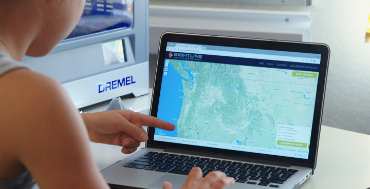

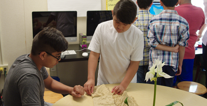
This month, Sightline Maps will begin releasing lesson plans to help teachers utilize the technology in a variety of subjects including art, geography, geology, math, history and literature. Geography is the first subject that comes to mind regarding the use of topographical maps, but the potential applications stretch into almost any area of study, if you think about it. Teachers can print maps to show the settings of novels, or the locations of historical battles. Students in science classes can use the maps to study the varied features of different locations and how they’re affected by climate.
“We just finished a ground-up rebuild moving to a mostly serverless architecture, and the performance gains have been awesome. Most of the heavy lifting is now done by AWS Lambda and we swapped in Phoenix/Elixir for our API server. We’ve managed to simultaneously reduce our server costs by more than 98% and increase our app’s stability,” Sam Corcos, Lead Developer, told 3DPrint.com.
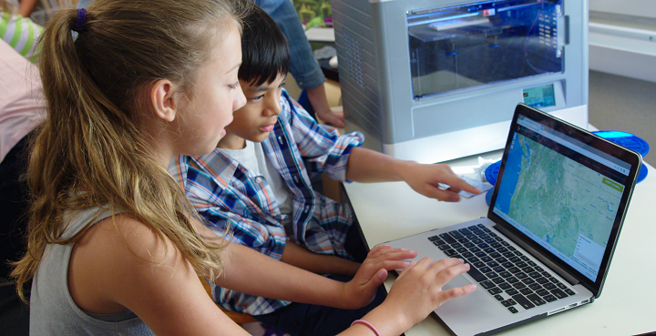
For a pledge of $100, you’ll get a personal subscription, a color 3D print of any geographical location you choose, plus you get to pick the school your contribution benefits. Higher contributions allow you to support multiple schools and receive multiple custom models. Discuss further over in the Sightline 3D Printed Maps forum at 3DPB.com.
