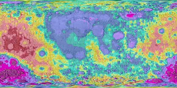
Chamberlin has now taken his program to the moon. Not literally; to my knowledge, he’s never actually been to the moon’s surface. But he can print a detailed, accurate replica – and so can you. Moon2STL is the same concept as Terrain2STL, except that the maps have been taken from the Unified Lunar Control Network 2005, a “lunar control network and lunar topographic model” created by the US Geological Survey using images from multiple sources to create a detailed photogrammetric map of the moon’s surface.
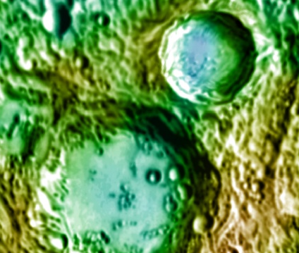
Chamberlin imported that lunar topographical map as an STL file to his website, where you can scroll across the moon and see its surface in up-close detail, complete with ridges, bumps and craters. Tiny digital squares are positioned across the map; by taking hold of one of those squares with your mouse, you can zero in on a particular area and zoom in to get a closer look at a mountain, canyon or just some peculiar-looking topographical feature.
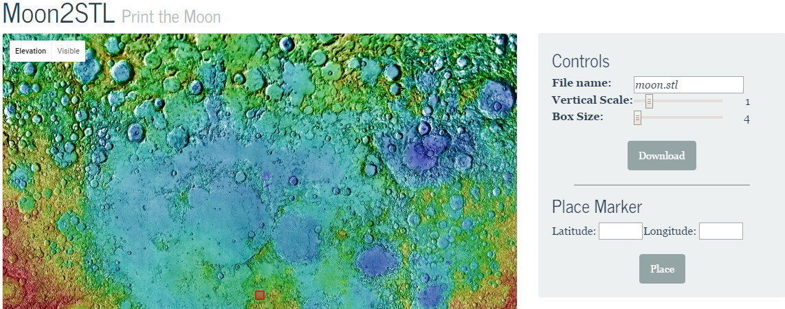
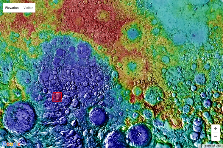
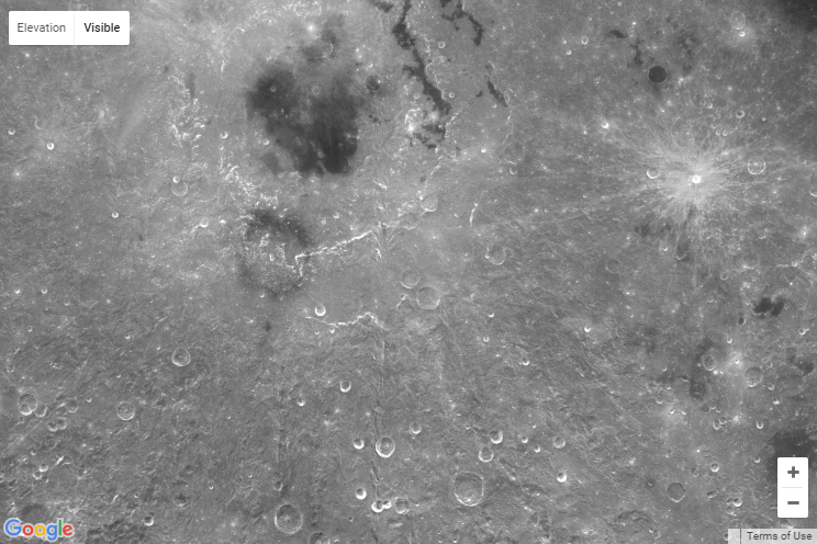
There’s also a tool that allows you to toggle between a photographic view of the lunar surface and an elevation map, with the landscape’s varying heights clearly demarcated by color. There’s a lot you can do with the site, and Chamberlin is always happy to answer questions or take feedback – you can contact him through this Reddit thread or via email at j.thatcher.c+spt@gmail.com. Are you interested in having a 3D print of the moon? Discuss in the 3D Print the Moon forum over at 3DPB.com.